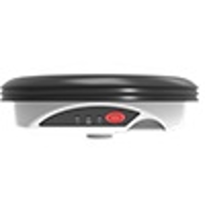
The Leica Zeno GG04 Plus is a professional-grade, rugged GNSS smart antenna engineered to bring high-accuracy spatial data collection to any mobile workforce. Designed for GIS professionals, surveyors, utility workers, and environmental investigators, the GG04 Plus leverages advanced RTK processing to deliver centimeter-level positioning accuracy directly to your smartphone, tablet, or handheld controller.
Featuring multi-frequency, multi-constellation tracking across 555 channels, this lightweight and compact antenna eliminates the need for bulky traditional surveying gear. With seamless Bring Your Own Device (BYOD) connectivity via Bluetooth, the GG04 Plus transforms any iOS, Android, or Windows device running Leica Zeno Connect into a high-precision data collection powerhouse.
Key Features & Benefits
Centimeter-Level RTK Accuracy: Utilizing a state-of-the-art RTK processing kernel, the GG04 Plus delivers real-time, sub-meter to centimeter-level positioning accuracy, ensuring your spatial maps are completely precise.
555-Channel Multi-Constellation Tracking: Access a robust global network. The antenna tracks GPS, GLONASS, Galileo, BeiDou, QZSS, and SBAS signals simultaneously, maintaining a rock-solid satellite fix even under dense tree canopies or in deep urban canyons.
Ultimate BYOD Flexibility: Pair the antenna seamlessly with your choice of hardware. Whether your crew uses rugged tablets or personal smartphones, the included Leica Zeno Connect license bridges the smart antenna with any third-party GIS or data-collection app.
High-Speed 20 Hz Data Output: Capture spatial metrics smoothly while on the move. The 20 Hz data streaming rate ensures rapid positioning updates, making it perfect for vehicle-mounted asset tracking or fast-paced pedestrian sweeps.
Built for Extreme Field Conditions: Rated at IP68, the GG04 Plus is entirely dustproof and waterproof (submersible up to 1 meter). Its ruggedized casing is built to withstand heavy impacts, vibrations, and temperatures ranging from -40°C to +65°C.
All-Day Battery Performance: Work an entire shift without interruption. The field-swappable, rechargeable Li-Ion battery provides up to 8.5 hours of continuous operation on a single charge.
Technical Specifications
| Feature | Specification |
| Channels | 555 Channels (Advanced multi-frequency tracking) |
| Supported Satellites | GPS, GLONASS, Galileo, BeiDou, QZSS, SBAS |
| Positioning Rate | 20 Hz |
| Real-Time Accuracy | RTK: Horizontal 1 cm + 1 ppm / Vertical 2 cm + 1 ppm |
| Software Interface | Leica Zeno Connect (Included for iOS & Android) |
| Ingress Protection | IP68 (Waterproof, dustproof, and sand-resistant) |
| Weight | 0.8 kg (1.76 lbs) including internal battery |
| Data Streaming | NMEA-0183 output and raw data logging support |
Common Field Applications
Asset Management & Utility Mapping: Accurately log the coordinates of water valves, gas pipelines, electrical meters, and fiber optic junctions for precise GIS updates.
Topographic & Boundary Surveying: Conduct rapid boundary line verifications, grade checks, and general topo mapping workflows without heavy base-and-rover configurations.
Environmental & Forestry Studies: Track changing terrain, inventory structural elements, and mark boundary changes deep within dense forested zones where standard GPS fails.
As-Built Construction Documentation: Map underground infrastructure immediately after laying utility lines and before backfilling trenches to build flawless digital twin profiles.