Accurate geospatial data forms the backbone of modern civil engineering, subsurface utility mapping, and site layout. For years, one of the most frustrating aspects of GNSS data collection was the strict requirement to hold the survey pole perfectly plumb. Watching a bubble level while navigating uneven terrain, dodging traffic, or balancing over deep trenches slows down fieldwork and introduces a significant risk of human error.
With the Emlid Reach RS3, that workflow has fundamentally changed. By integrating advanced Inertial Measurement Unit (IMU) technology, the Reach RS3 eliminates the need for a perfectly level pole, revolutionizing how field teams measure hard-to-reach utility valves, manhole inverts, and complex infrastructure.
The Challenge of Hard-to-Reach Utilities
Subsurface utilities are rarely located in wide-open, convenient spaces. Traditional surveying requires the receiver to be positioned directly above the point of interest on a vertical pole. In real-world environments, this poses major operational challenges:
Utility Valves and Meters: Water meters and gas valves are frequently situated flush against building walls, tucked under parked vehicles, or hidden in dense brush. Getting a level shot directly over these features is often physically impossible.
Invert Elevations: Capturing the invert elevation of a pipe inside a manhole or catch basin typically forces the surveyor to aggressively angle the pole. Without tilt compensation, this creates an offset error that compromises the integrity of your hydraulic models and drainage assessments.
Safety Hazards: Utility features are commonly located in active roadways or open trenches. Standing directly over a point to carefully level a pole puts field personnel at unnecessary risk.
Calibration-Free IMU Tilt Compensation
The Emlid Reach RS3 resolves these challenges effortlessly with its factory-calibrated, magnetic-immune IMU. Because the sensor relies on inertial measurements rather than a digital compass, it is completely unaffected by nearby magnetic disturbances—meaning it maintains accuracy even when placed directly next to cast-iron manhole covers, reinforced concrete, or heavy machinery.
Here is how the Reach RS3 tilt compensation elevates your surveying workflow:
Zero Field Setup: The factory-calibrated IMU initializes in just seconds. There is no need for complex figure-eight movements or time-consuming on-site calibration routines. Simply turn on the receiver, take a few steps, and start collecting tilt-compensated data right out of the box.
Speed & Safety: Field crews can now record points at an angle. You can capture curb lines, utility trenches, and street-level valves quickly without stepping directly into harm's way or meticulously leveling the pole.
High Precision at Any Angle: Tilt compensation adds minimal overhead to your data (maintaining accuracy within RTK + 2 mm + 0.3 mm/°). The RS3 delivers centimeter-level precision even at high tilt angles, keeping your utility and invert measurements well within strict tolerance limits.
Connected Field-to-Cloud Workflows
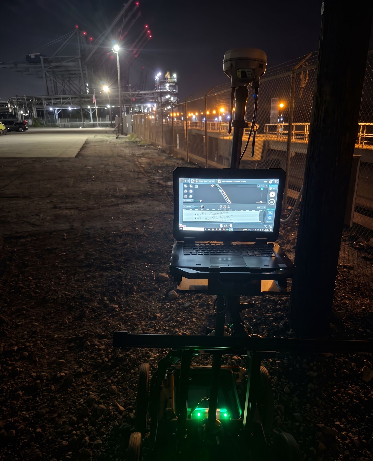
Beyond hardware specs, the Reach RS3 streamlines operations through seamless software integration. Operating with the Emlid Flow mobile app (iOS/Android) and the Emlid Flow 360 cloud platform, field data synchronizes directly with your office teams in near real-time. Whether you are performing a topographic survey, importing DXF files for site layout, or mapping critical subsurface utilities, the data flows effortlessly from the field to your deliverables.
See It In Action
Whether executing earthwork calculations, locating subsurface utilities, or mapping boundary lines, the Emlid Reach RS3 provides a rugged, highly reliable solution for modern geospatial workflows.
For a visual overview of how the receiver performs in tough field environments, check out the Emlid Reach RX2 Product Overview video below. This short demonstration highlights how the magnetic-immune IMU handles angled measurements on hard-to-reach features with ease.
At Bigman Geophysical, we are committed to providing world-class expertise combined with cutting-edge technology in the pursuit of underground discovery. To learn more about upgrading your field capabilities with the Emlid Reach RX2 or RS4, or to inquire about our equipment sales, rentals, and training programs, reach out to our team today.