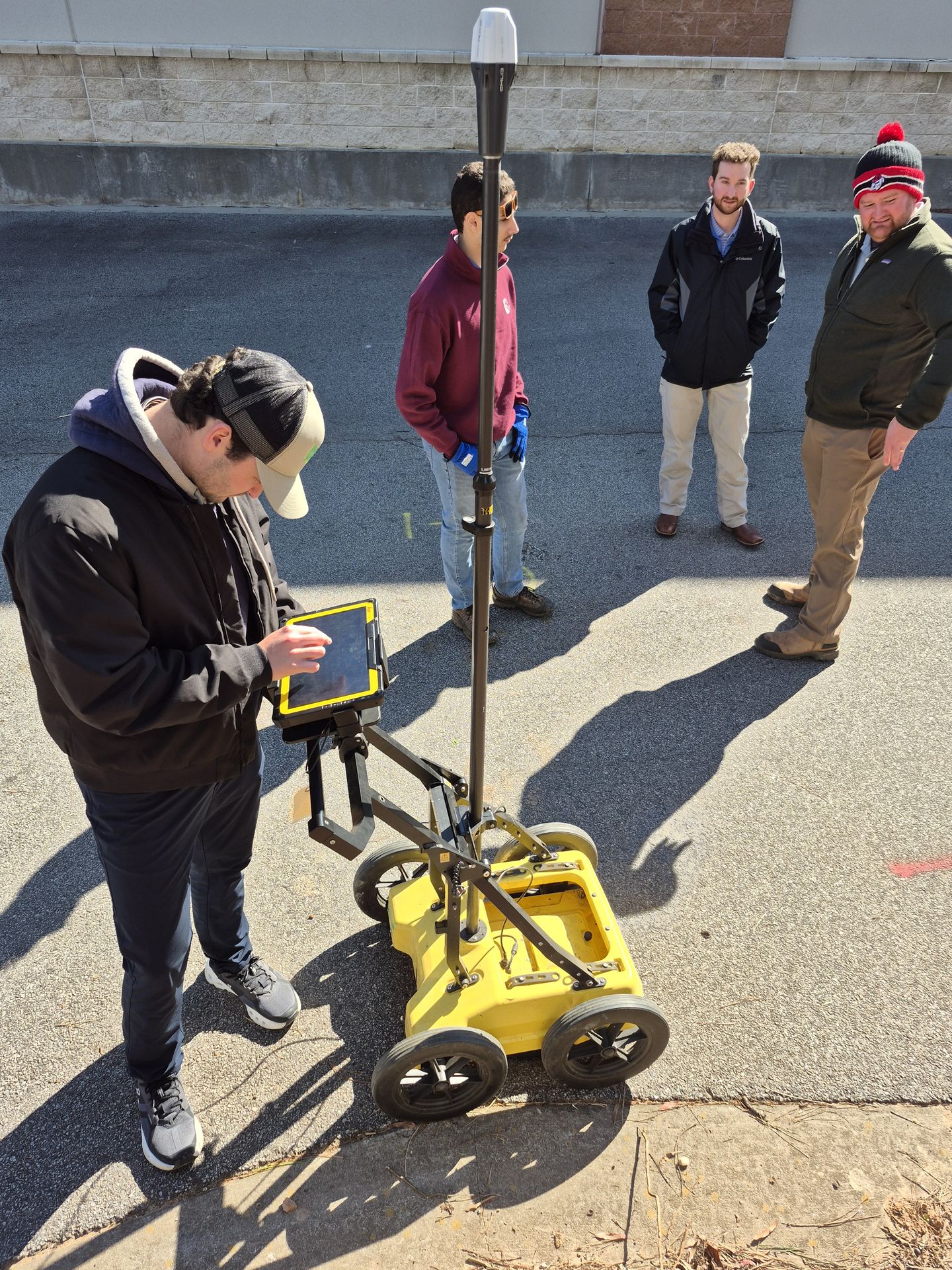
Ground Penetrating Radar (GPR) technology has advanced leaps and bounds over the past decade. Today’s geophysical and utility locating firms regularly deploy high-density multichannel arrays, vehicle-mounted systems, and multi-sensor fleets combining equipment from different manufacturers.
However, hardware innovation has historically outpaced software capabilities. For years, firms have been trapped in proprietary software ecosystems—forced to use single-user dongles, deal with slow local rendering, and jump between disparate software packages depending on which brand of radar cart was taken into the field that morning.
Geolitix flips this paradigm on its head. As a cloud-native, web-based GPR processing and interpretation platform, Geolitix harnesses high-performance cluster computing to streamline workflows across your entire hardware inventory.
Here is why adopting cloud-based processing with Geolitix is a game-changer for firms handling complex, multi-sensor projects.
1. Complete Hardware Agnosticism: Unifying Your Fleet
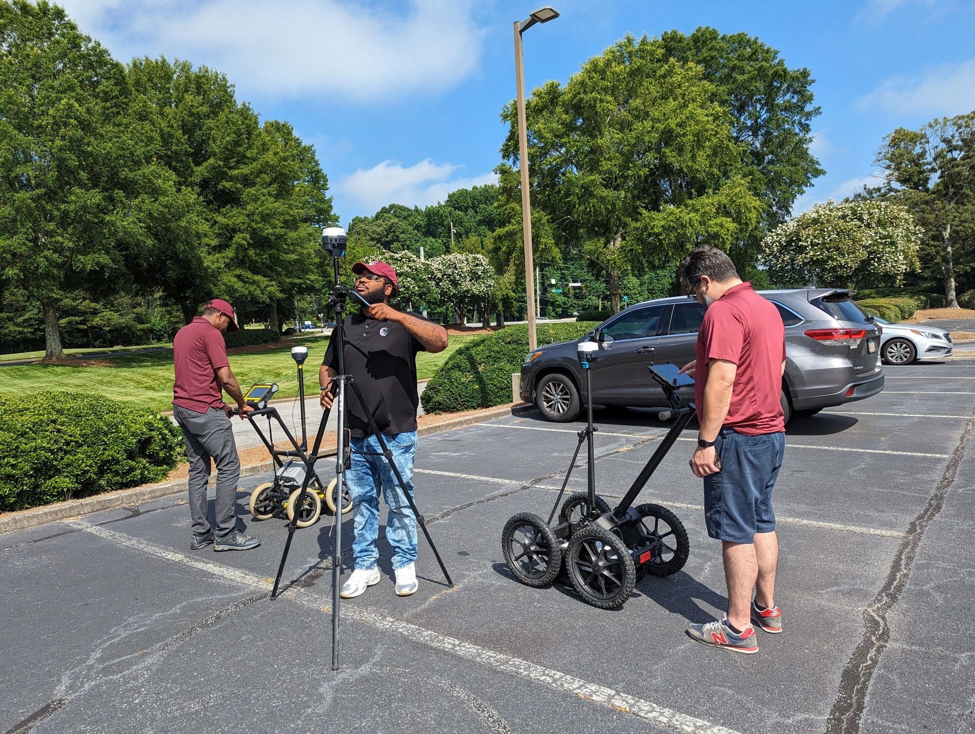
If your firm owns equipment from multiple manufacturers—or utilizes both single-channel handhelds and 3D multichannel arrays—software bloat is a constant headache. Training technicians on three different processing programs creates unnecessary bottlenecks and increases the risk of human error.
Geolitix is completely hardware-agnostic.
Universal File Import: Whether you are working with raw files from IDS GeoRadar, Sensors & Software, ImpulseRadar, MALA, or GSSI, you simply drag and drop your raw field files straight into your web browser.
Single-Channel to Multichannel: The platform effortlessly ingests everything from basic single-frequency 2D grid lines to complex, GNSS-tracked multichannel 3D datasets.
A Unified Interface: Your office team only needs to master one streamlined interface to process, filter, and interpret every radar survey your field crews bring in.
By breaking down proprietary vendor silos, Geolitix allows you to choose the best physical radar tool for the job without worrying about software compatibility down the line.
2. Speed at Scale: Automated Layer Picking and AI Analysis
Manually picking subsurface horizons across miles of roadbed or hundreds of bridge deck profiles is one of the most tedious, time-consuming tasks in geophysics. When dealing with massive datasets, manual interpretation quickly consumes billable hours and delays project delivery.
Geolitix leverages cloud computing algorithms to automate these heavy-lifting tasks:
Automated Pavement Layer Tracking: For infrastructure and transport projects, Geolitix's automated layer picking rapidly detects asphalt lifts, concrete bases, and ballast boundaries along continuous road or rail corridors.
Automatic Rebar Positioning: Scanning bridge decks and concrete slabs? The software automatically identifies hyperbola tops and maps rebar depths and reflection amplitudes in seconds.
3D Horizon & Surface Generation: Automatically construct continuous 3D surfaces of geological layers, soil strata, or bedrock depth maps with computed gridding parameters, letting analysts focus on interpretation rather than repetitive clicking.
3. Frictionless CAD and GIS Export Workflows
A brilliant radar profile means very little to a civil engineer or construction manager if it cannot be easily integrated into their design files. Transitioning GPR interpretations into deliverable CAD or GIS layers used to require tedious manual digitizing and third-party conversion tools.

Check out the Ultra Plan!
Geolitix is the premier GPR data processing software for the professional.
Geolitix bridges the gap between raw geophysical data and CAD/GIS deliverables:
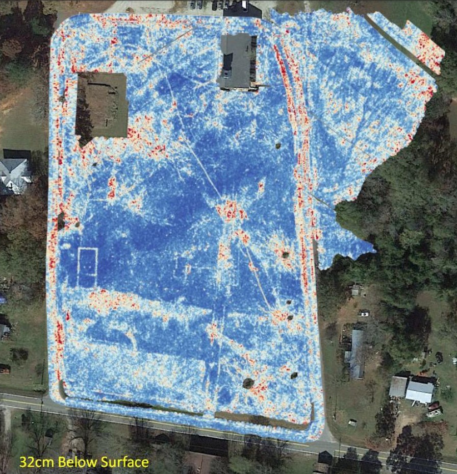
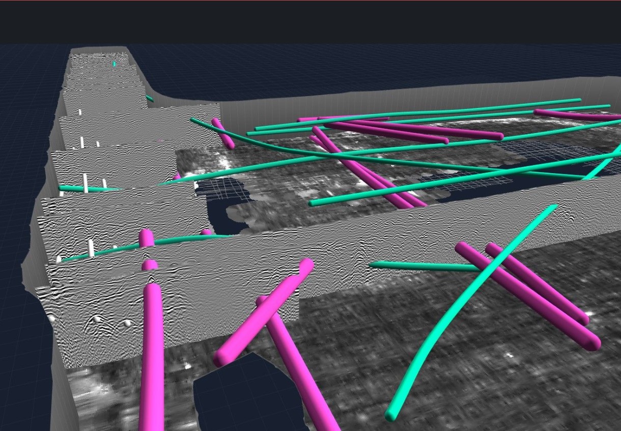
Direct Spatial Integration: Because Geolitix supports complex survey geometries—including real-time GNSS positioning, total station data, and georeferenced base maps—your interpretations are inherently aligned with real-world spatial coordinates.
One-Click Vector Export: Export utility lines, rebar layouts, and horizon features directly into CAD-ready formats (AutoCAD DXF/DWG) or spatial GIS formats (Shapefiles, GeoTIFF, Google Earth KMZ).
Interactive 3D Isosurfaces: Create 3D models of discrete targets, voids, or underground storage tanks (USTs) that can be easily exported and presented to project stakeholders in intuitive formats.
4. The Cloud Advantage: Processing from Anywhere
The real magic of cloud-based processing is mobility. Field technicians can upload data from a site via a mobile hotspot, and a geophysicist in the office can immediately begin processing and verifying data quality while the crew is still on-site.
There is no need for high-end graphic workstations in the field or expensive software licenses locked to a single desktop tower. If you have a web browser and an internet connection, you have the full processing power of a cloud supercomputer at your fingertips.
Transform Your Firm’s Data Workflow
In a competitive market where project turnarounds are tighter than ever, clinging to outdated, vendor-locked processing workflows slows your business down. By pairing hardware-agnostic flexibility with automated layer picking and direct CAD/GIS exports, Geolitix empowers your team to process data faster, reduce errors, and deliver higher-quality results to your clients.