Karst topography presents one of the most unpredictable challenges for infrastructure development and maintenance. From suddenly collapsing roadways to compromised building foundations, sinkholes can cause catastrophic damage, seemingly without warning. But the truth is, the warning signs are usually there—they are just hidden beneath the surface.
At Bigman Geophysical, we know that waiting for surface subsidence is waiting too long. Preventing a collapse requires looking into the earth and identifying voids, soil raveling, and preferential fluid pathways before the ground gives way. Today, relying on a single method—like closely spaced exploratory drilling—is like searching for a needle in a haystack blindfolded. That is why a multi-sensor geophysical approach is the most comprehensive way to characterize sinkholes and karst voids.
Let's explore how integrating Ground Penetrating Radar (GPR) with electromagnetic induction tools provides a complete subsurface picture.
The Challenge of Karst Environments
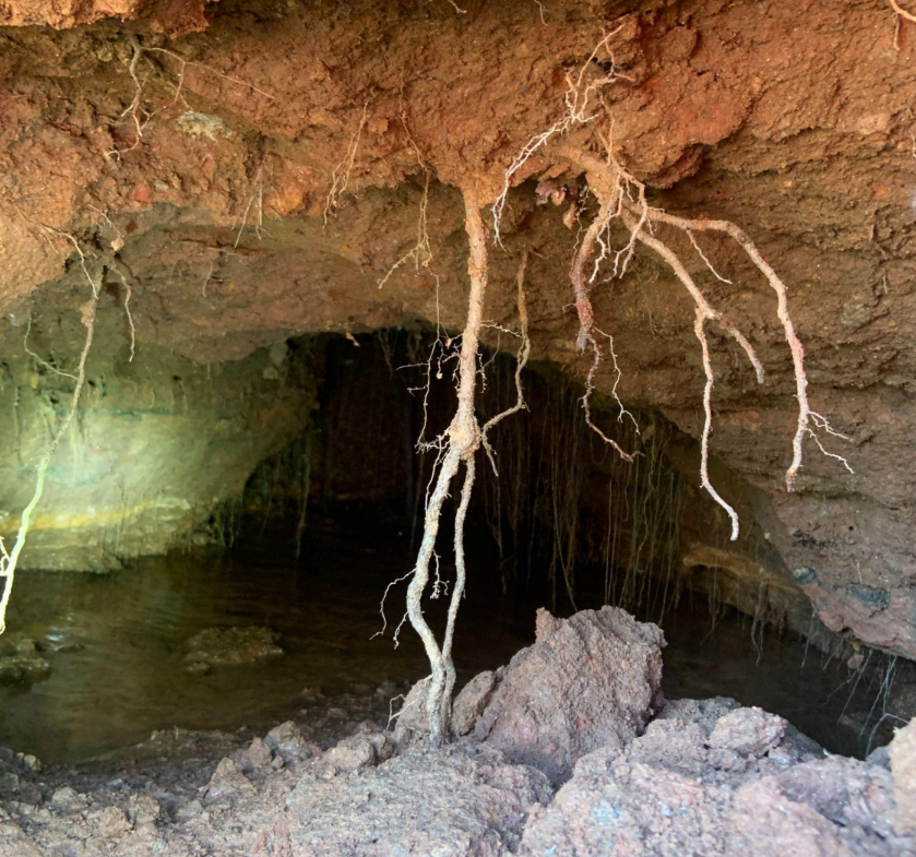
Karst environments are defined by soluble rocks like limestone or dolomite. Over time, groundwater dissolves the rock, forming subsurface drainage systems, caves, and voids. When the soil above these cavities begins to erode downwards (a process known as raveling), a void migrates toward the surface until the "roof" can no longer support the weight above it, resulting in a sinkhole.
Finding these features requires mapping both the macro-geological conditions (like moisture accumulation and soil variations) and the micro-structural details (like the exact depth and dimensions of a void).
Geonics EM38B: Rapid Conductivity Profiling
When surveying a large area for potential karst features, efficiency and broad coverage are crucial. This is where the Geonics EM38B electromagnetic induction meter excels.
The EM38B is a lightweight, non-invasive instrument that provides simultaneous measurements of both apparent soil conductivity and magnetic susceptibility. Because karst features and sinkhole formations often disrupt the natural hydrogeology of a site, they create distinct electrical conductivity anomalies. For instance, increased moisture pooling in a depression or changes in soil clay content above a developing void will register as clear conductivity contrasts.
By deploying the EM38B—often synced with high-precision GPS—we can rapidly scan acres of land, identifying anomalous zones without intrusive excavation. It essentially creates a macroscopic heat map of subsurface conditions, pointing our geophysicists exactly where to look closer.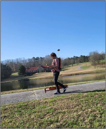
Ground Penetrating Radar (GPR): High-Resolution 3D Imaging
Once the EM38B has highlighted regions of interest, Ground Penetrating Radar (GPR) is brought in to provide a high-resolution, targeted investigation. GPR pulses high-frequency electromagnetic waves into the ground and measures the time it takes for those waves to bounce back from subsurface interfaces.
Where the EM38B reveals broad fluid paths or soil variations, GPR gives us the exact architecture of the danger zone. The stark contrast in dielectric properties between solid soil and an air-filled or water-filled void creates a highly visible reflection in the radar profile. GPR allows our analysts to map the roof of the void, measure the extent of soil raveling, and assess the integrity of the overlying asphalt or concrete structures.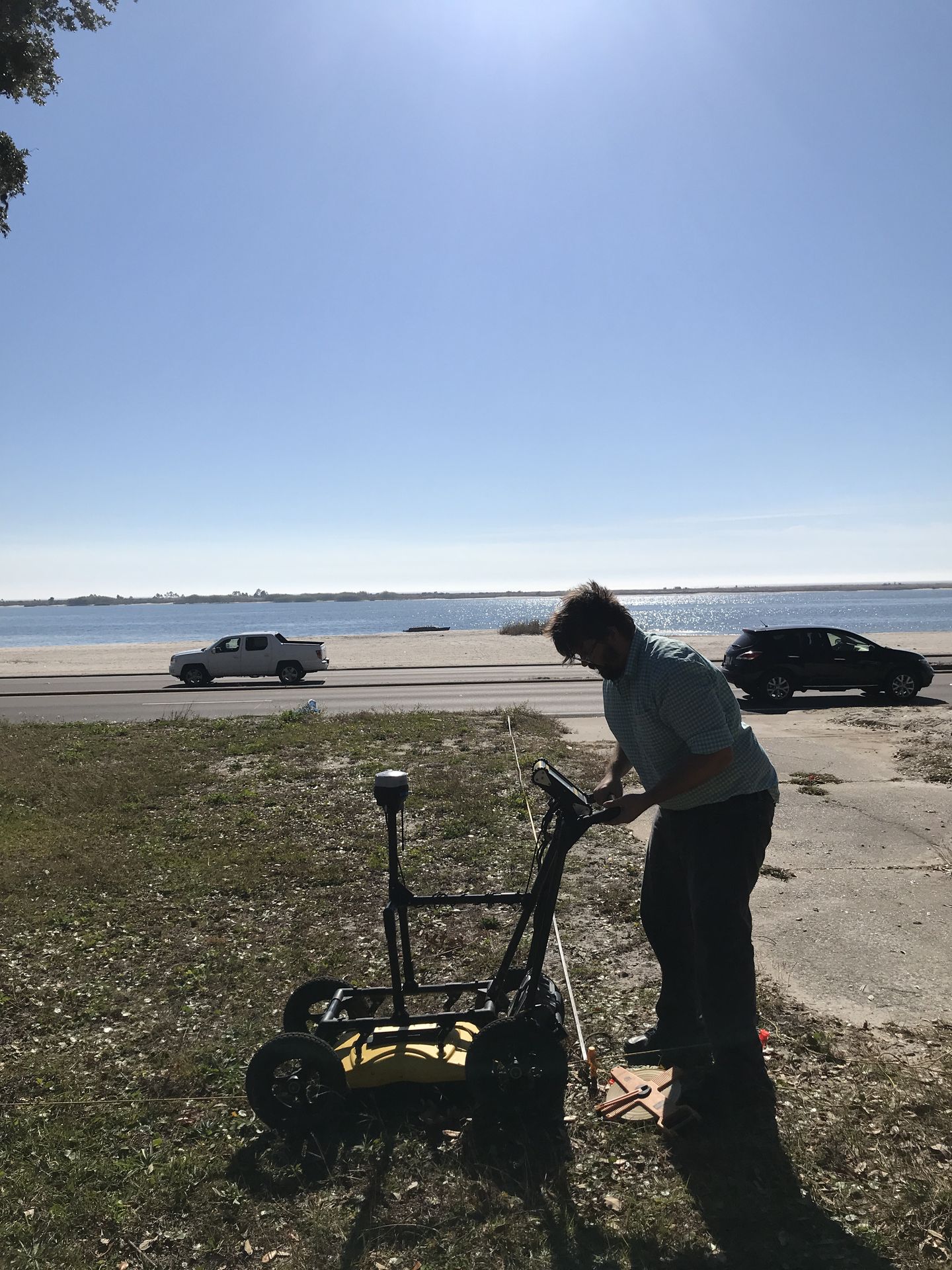
The Multi-Sensor Advantage
No single tool can do it all. GPR provides incredible detail but can be attenuated by highly conductive, clay-rich soils. The EM38B, on the other hand, thrives on measuring those conductivity differences but doesn't provide the exact 3D structural outline of a cavity.
By deploying them together, Bigman Geophysical leverages the strengths of both. We use the EM38B for rapid, site-wide reconnaissance to track moisture and soil changes, followed by GPR to surgically map the voids and raveling soils before they breach the surface. This multi-sensor synergy saves clients time, eliminates the guesswork of blind drilling, and helps prevent catastrophic infrastructure failure.
Using the Geonics EM38B to map utilities and voids
This video demonstrates the practical application of using electromagnetic induction to locate subsurface objects and create contour maps of conductivity values in the field.